⛴️
Feature 4 of 4
Maritime Route Optimization
Maritime Route Optimization
Overview
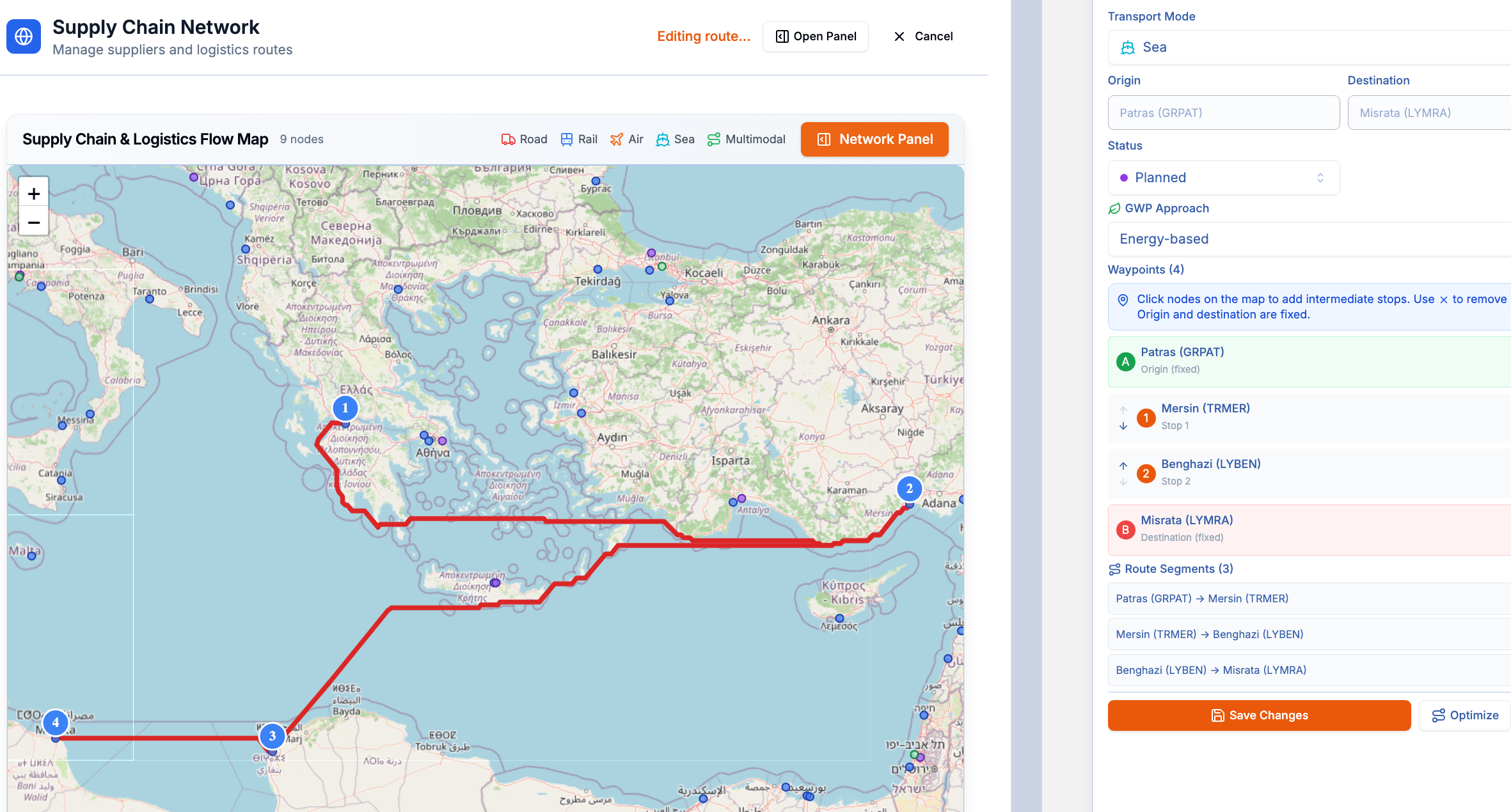
This service integrates a global port directory containing more than 500 seaports, enabling port-to-port maritime routing instead of simple coordinate-based connections. Maritime routes are rendered as realistic shipping corridors on the interactive map and operator dashboards, accurately following established sea lanes and avoiding landmasses.
Key Benefits
By using real maritime distances, the service also improves the accuracy of value-added analyses, including supply chain risk assessments, climate impact evaluations, and transportation-related environmental impact calculations, ensuring that all route-based analytics are based on realistic shipping scenarios rather than straight-line approximations.